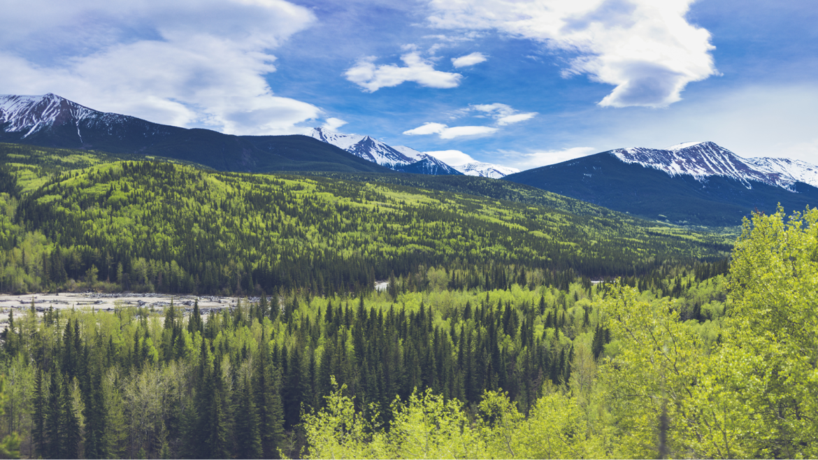
Alberta’s government has released the Upper Smoky Sub-Regional Plan, a framework that aims to protect 13,000 square kilometres of land in west-central Alberta while supporting jobs in energy, forestry, and tourism.
The plan introduces new conservation areas, wildfire mitigation measures, and restoration targets for caribou habitat, while allowing for continued economic activity across designated zones. It will take effect on Jan. 1, 2026.
Plan divides region into three development zones
The plan introduces a three-tiered zoning approach to balance environmental protection and development:
Nature First zone (3,200 km²): Includes parks and protected areas where industrial development is largely prohibited. Focus areas include conservation, habitat restoration, outdoor recreation, and traditional land use.
Slow Go zone (5,113 km²): Allows limited resource development under restrictions designed to reduce environmental impact. A new Public Land Use Zone near Grande Cache will promote sustainable recreation and tourism.
Go zone (4,928 km²): Permits a full range of development activities, including recreation and grazing.
Alberta Forestry and Parks will complete a wildfire mitigation plan for the area within 60 days of implementation. The goal is to reduce wildfire risk to communities and critical wildlife habitats.
Expanded conservation and restoration targets
Under the plan, the total area of parks and protected lands in the sub-region will expand to nearly 3,200 square kilometres — almost four times the size of Calgary. It also sets Alberta’s first restoration targets for legacy seismic lines and inactive well sites in caribou habitat.
Between 2015 and 2019, Alberta restored 87 kilometres of seismic lines. In the past five years, that number rose to 4,559 kilometres, according to the province. The Upper Smoky region will be part of ongoing restoration work aimed at accelerating that progress.
Once implemented, an oversight committee will be formed to ensure continued input from Indigenous communities, municipalities, and industry.
Officials highlight balance of environment and economy
Environment and Protected Areas Minister Rebecca Schulz said the plan strikes a balance between conservation and economic growth.
“This plan protects the environment while also protecting jobs,” Schulz said. “It adds new conservation areas and increases caribou habitat restoration while also helping meet our goal of doubling Alberta’s oil and gas production.”
Forestry and Parks Minister Todd Loewen said the framework will help safeguard both natural habitats and employment in the forestry sector.
“It considers the effects of wildfire on critical habitat for endangered species like caribou,” Loewen said. “Utilizing the forestry industry and their expertise to accomplish these goals provides benefits to communities and our public lands.”
Plan details and regional context
Size and scope: Covers 13,216 square kilometres south of Grande Prairie, encompassing Grande Cache, Kakwa Wildland Park, and about half of Willmore Wilderness Park.
Economic impact: The area supports roughly 85,000 jobs and contributes about $21.2 billion to Alberta’s GDP.
Conservation and safety: Includes regional wildfire planning and two new conservation areas.
Land use: Provides direction for forestry, grazing, recreation, tourism, and energy development.
The Upper Smoky Sub-Regional Plan is the third such initiative completed since 2022 under the Alberta Land Stewardship Act. Public engagement took place from March to June, with feedback from Indigenous communities, municipalities, industry, and residents incorporated into the final version.


